FARO Sphere® XG and FARO® Blink™: Reality Capture, Reimagined
One-touch scanning, uploading, and analysis of reality capture data
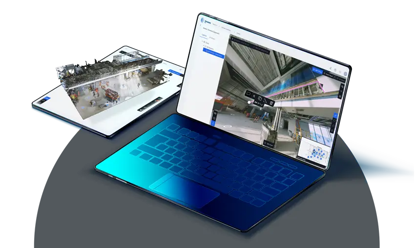
Unify and Analyze Reality Capture in a Blink, with Sphere XG
Sphere XG allows you to upload, process, view, share, measure, and manage all your point clouds and 360° photos in one unified digital reality platform. Stakeholders, as well as field and office teams, can stay updated on the latest project developments from anywhere, at any time. An easy-to-use interface ensures a seamless workflow, from scanning to analysis, whether you’re a new or seasoned Sphere XG user.
Blink directly connects to the Stream mobile app and enables a smooth data transfer into Sphere XG, where your scans are processed and visualized automatically. In other words, minimal effort for maximum reward.
How Do Sphere XG and Blink Deliver Benefits Together?
Sphere XG is a cloud-based solution for processing and visualizing all your project data — 360° photos and 3D point clouds – using automatic workflows that bring your project to life.
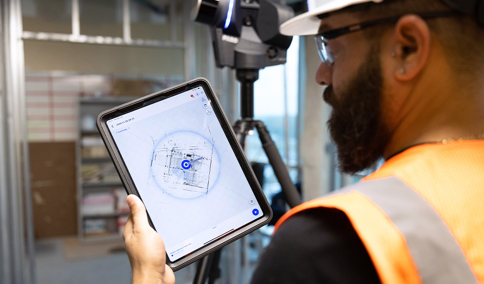
Seamless Upload of Reality Capture Data
Generate measurable 3D scans and visual 360° photos with Blink and upload them to Sphere XG with one click through the Stream App.
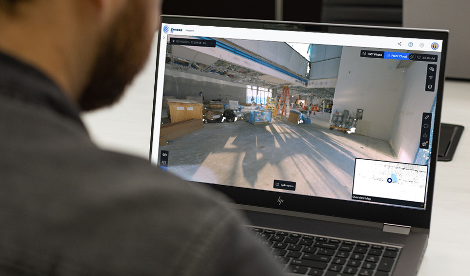
Always Available Cloud-based Platform
Provide internal and external teams with online access to project data and ensure continuous and efficient progress on projects.

Automated Processing and Registration
Don’t worry about manually processing and aligning scans — Sphere XG automatically registers your scans after they have been processed in the cloud.
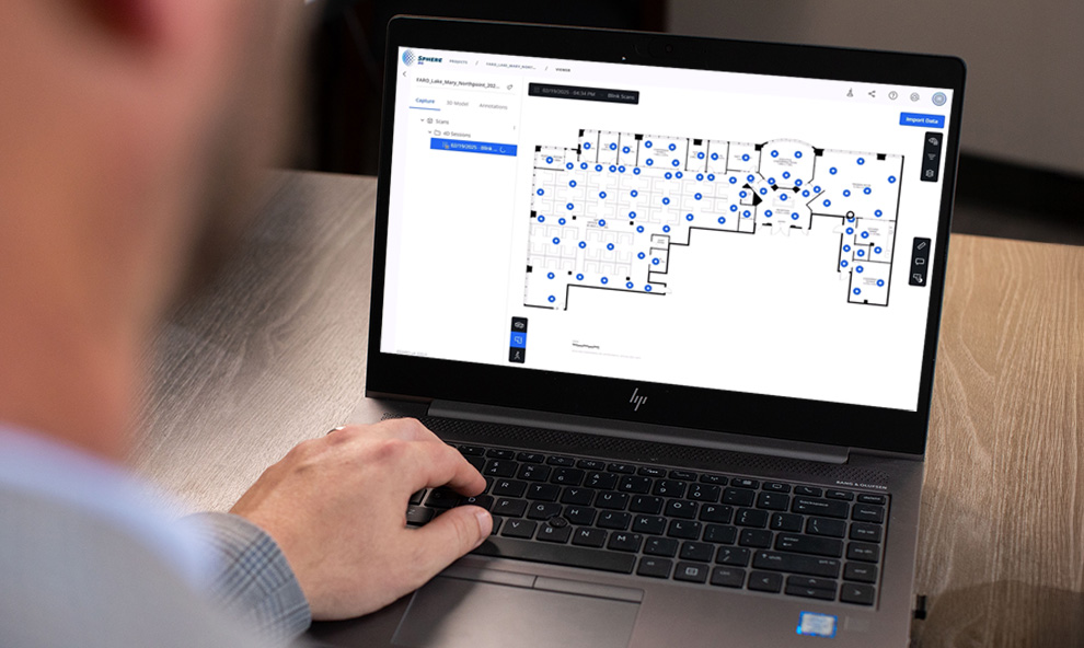
Floor Plan Generation
Turn your 3D can data into simplified 2D floor plans that provide an easy-to-understand overview of room layout with key structural elements
Main Features
One Platform
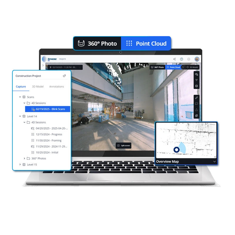
Unite all your reality capture data and your design data in a single platform, removing data silos. Sphere XG provides access to 3D point clouds, 360° photos, and 3D models in one location.
Accuracy
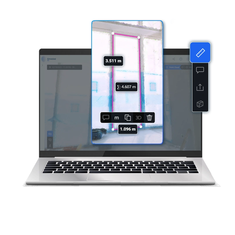
Unlock an easy and intuitive way of performing measurements inside of Sphere XG, which can be done by anyone, freeing up time for experts from basic tasks.
Accessibility
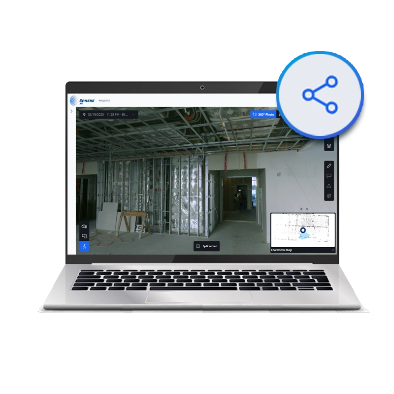
No need for powerful computers to view point clouds and 3D models, simply share your project with your team and stakeholders for easy online access.
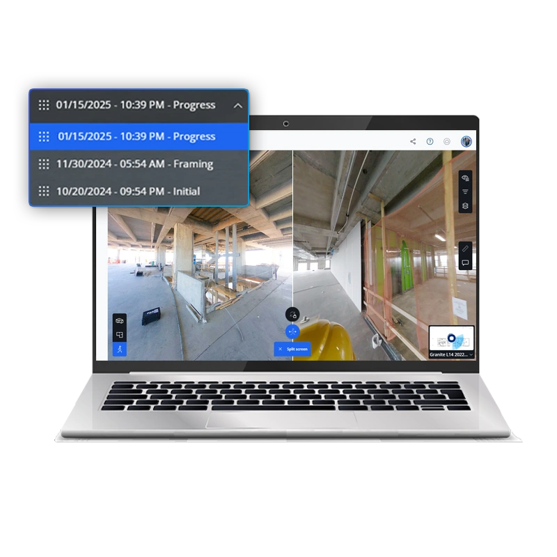
Progress Tracking Over Time
The TimeTravel drop down allows you to jump between different points in time within your 360° photos and point clouds to follow progress. Upload multiple point clouds per sheet and compare reality capture data side-by-side.
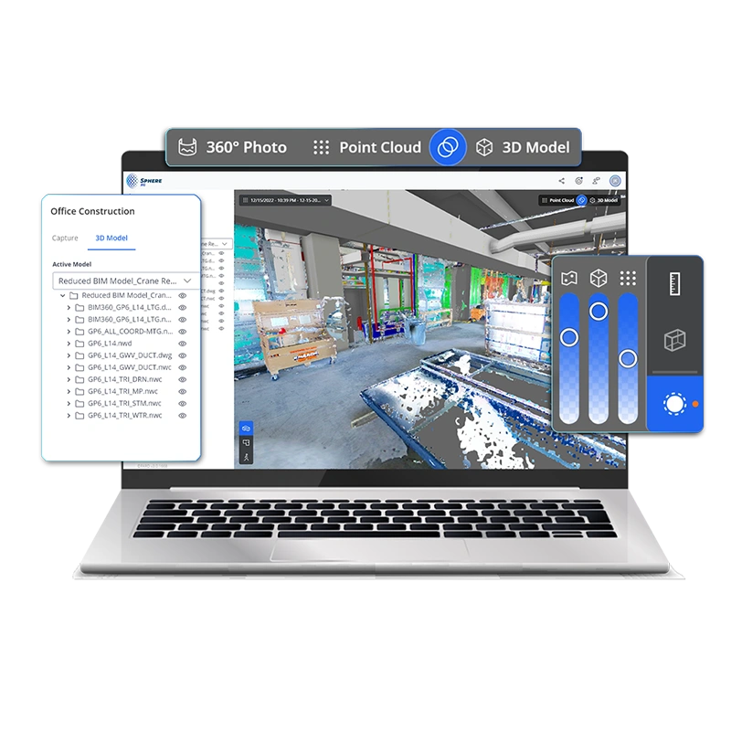
Easy Data Alignment
Consolidate your design and 3D point cloud data into one coordinate system, by simply uploading your 3D model in various industry standard formats. Your georeferenced models and point clouds will align without extra effort, so you can inspect the site with accuracy.
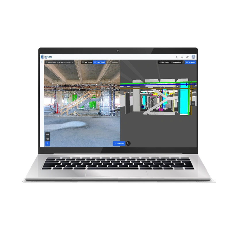
Find Discrepancies Early
Use the handy visual overlay of point cloud data and 3D models to compare your site progress vs. the plan, visually inspect for possible future clashes, and catch deviations. Issues can be spotted early and mitigated before they escalate.
