Getting Started with the FARO® Blink™ Imaging Laser Scanner
Guides, how-to’s, and tips and tricks to help you get started developing stunning, measurable scans.
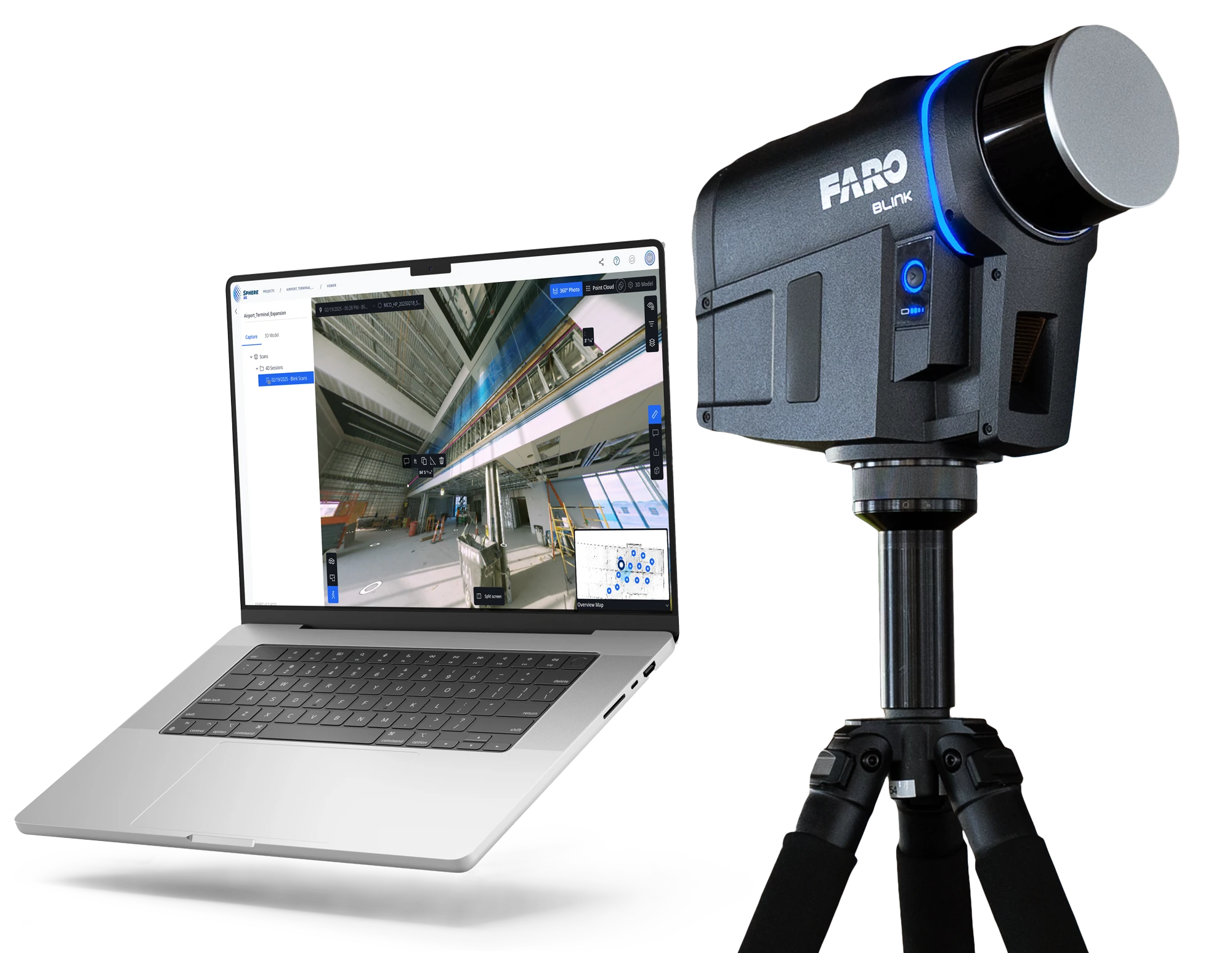
Here’s What You Need to Get Started
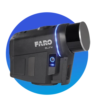
Blink Imaging Laser Scanner
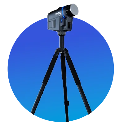
Tripod
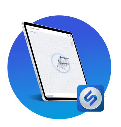
FARO Stream App on Mobile Device
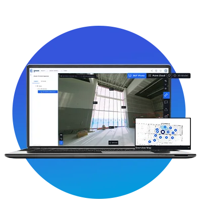
FARO Sphere® XG Account
Explore our resources to get yourself up to speed with Blink.
Videos
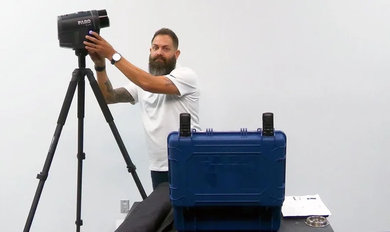
Unboxing
What’s in the box? This video answers just that, exploring design and accessories, and giving you a first look at the FARO Blink.
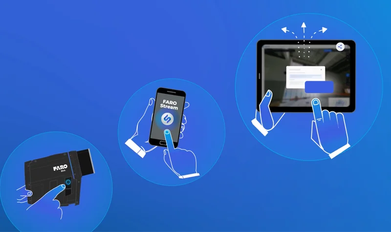
Blink Overview
An expert overview: Everything you need to know about this high-tech imaging laser scanner.
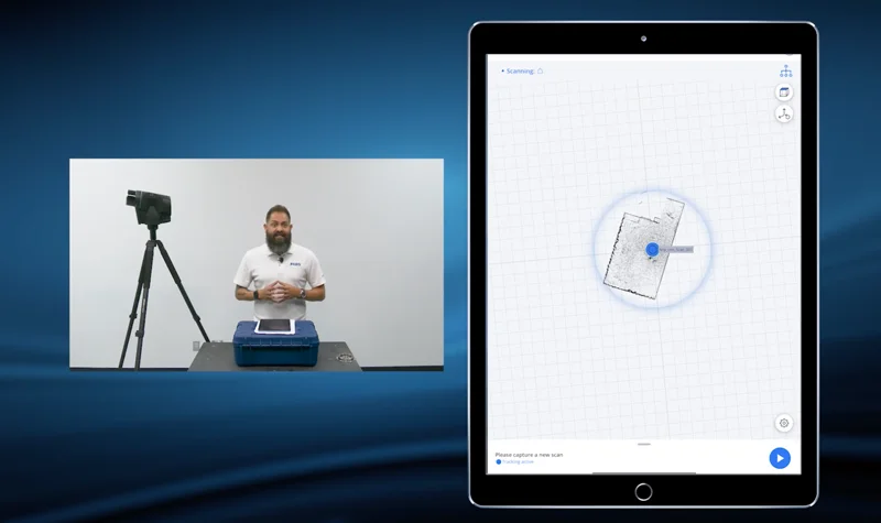
Getting Started with Blink
Master your FARO Blink with this comprehensive getting started video and start scanning today.
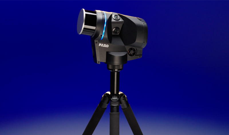
Blink Product Demo
Check out the scanner in action by watching this video, which offers a thorough demonstration of the product.
Technical Resources
FARO Academy
Follow the link to access exclusive courses, and maximize your experience with FARO Blink.
Knowledge Base
Delve into detailed and technical resources such as guides, user manuals, quick start guides, and much more.
Additional Resources
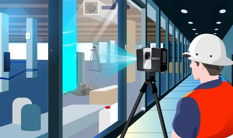
Reality Capture Data Explained in One Minute
